Overview of the urban system of Buenos Aires
I – Buenos Aires’surban system, perrfect exemple of the urbanism of the colonial empire
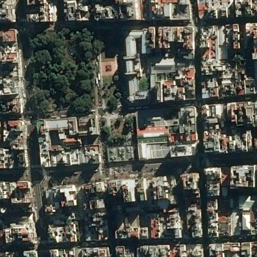
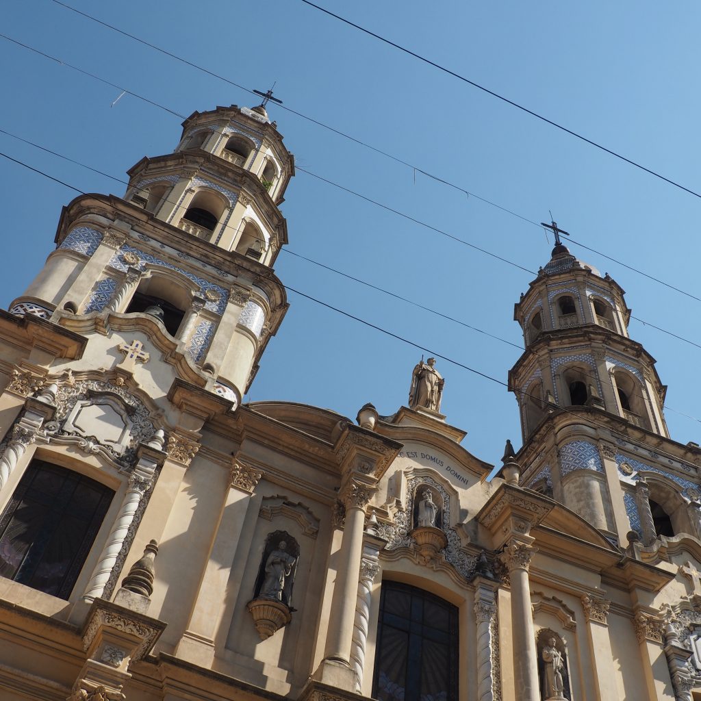
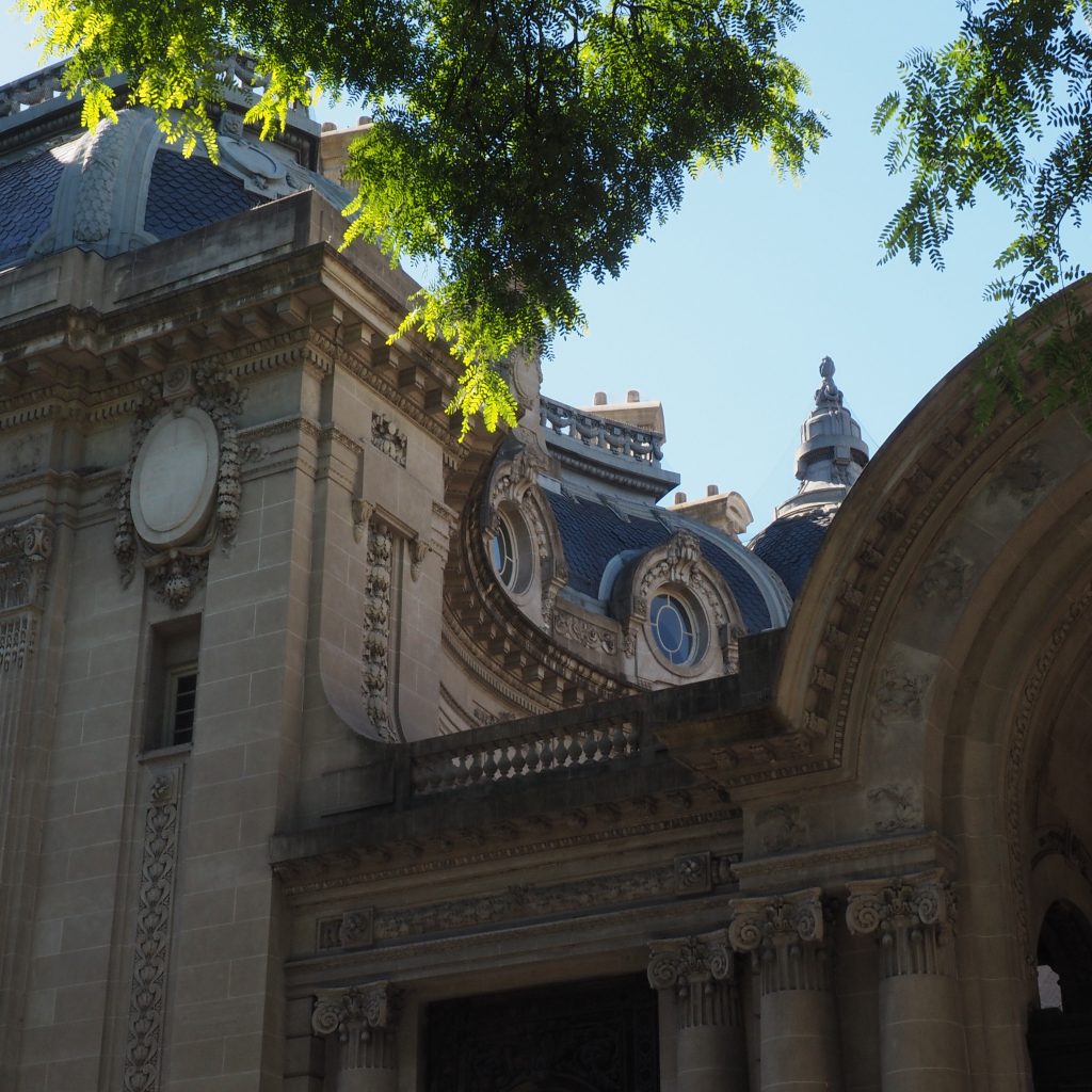
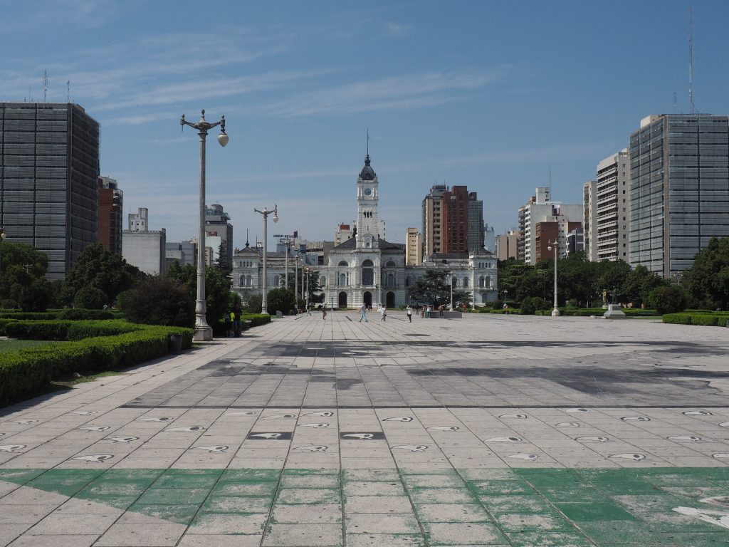
Through the urbansism of Buenos Aires, it is possible to refound traces of this urban system in the historic center of most cities built in the Spanish colonial empire. The central square , often called « Plaza de Armas »(litteraly « square of weapons »because the soldiers used to scroll there) is located in the center of the city. On this square colons built the two mains symbolic building of the colonial power : the cathedral and the Cabillo, the colonial town hall.
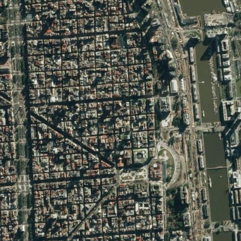
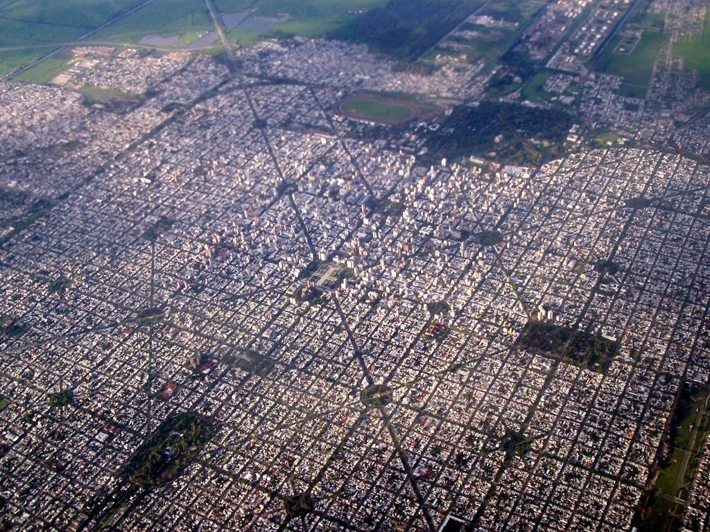
The rest of the city was organized in a grid pattern around this central square.
Aerian View Cabildo + cathedrale
This grid system is a good reflection of colonial politics: the system is extremely simple, rigorous and abstract, disconnected from the landscapes elements (and therefore easily applicable whatever the region). This grid was often quite different from indigenous urban systems and when settlers decided to build a colonial city instead of a pre-Columbian city, they often chose to apply the politic of the tabula rasa.
Specificities of Buenos Aires :
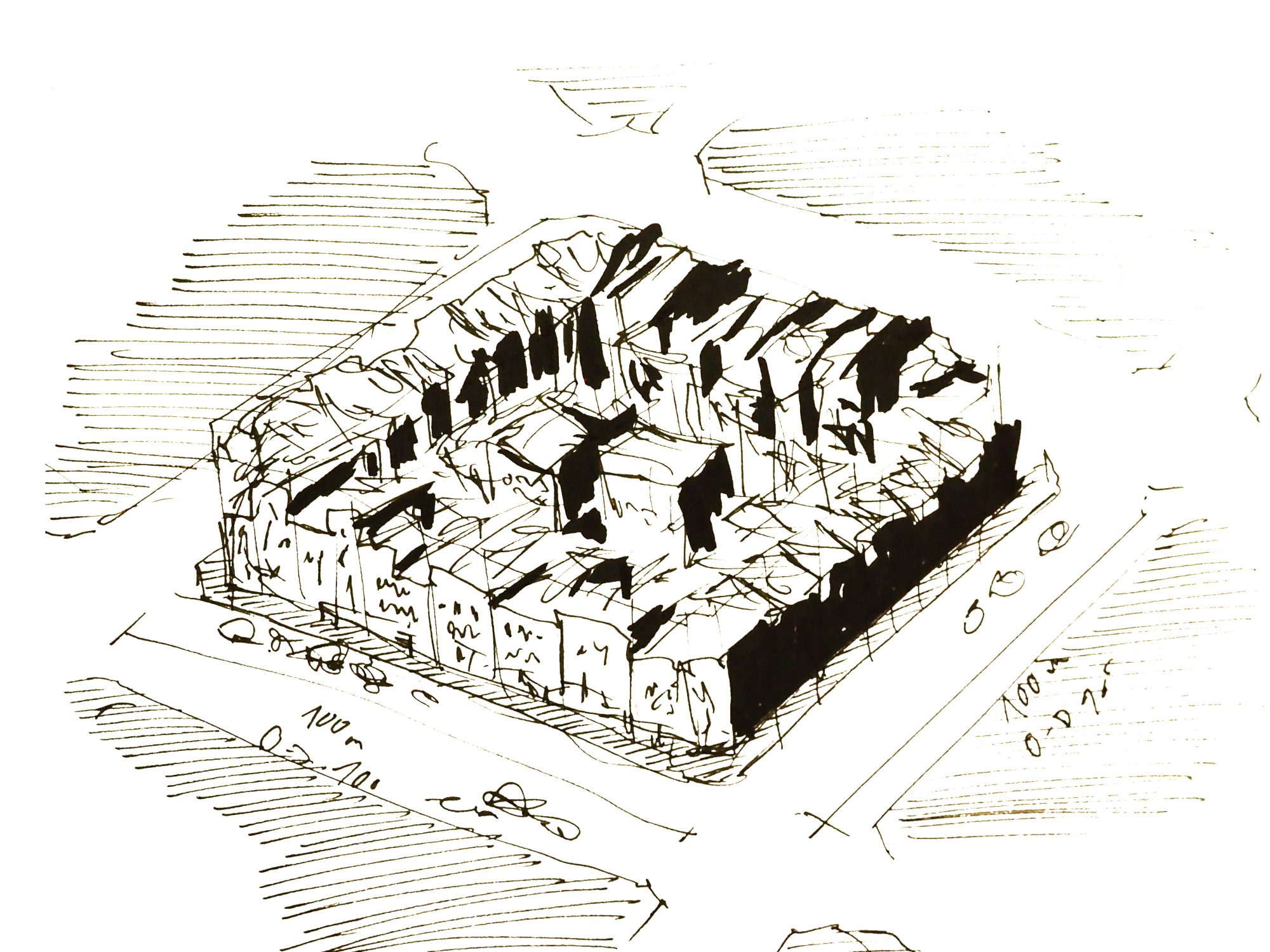
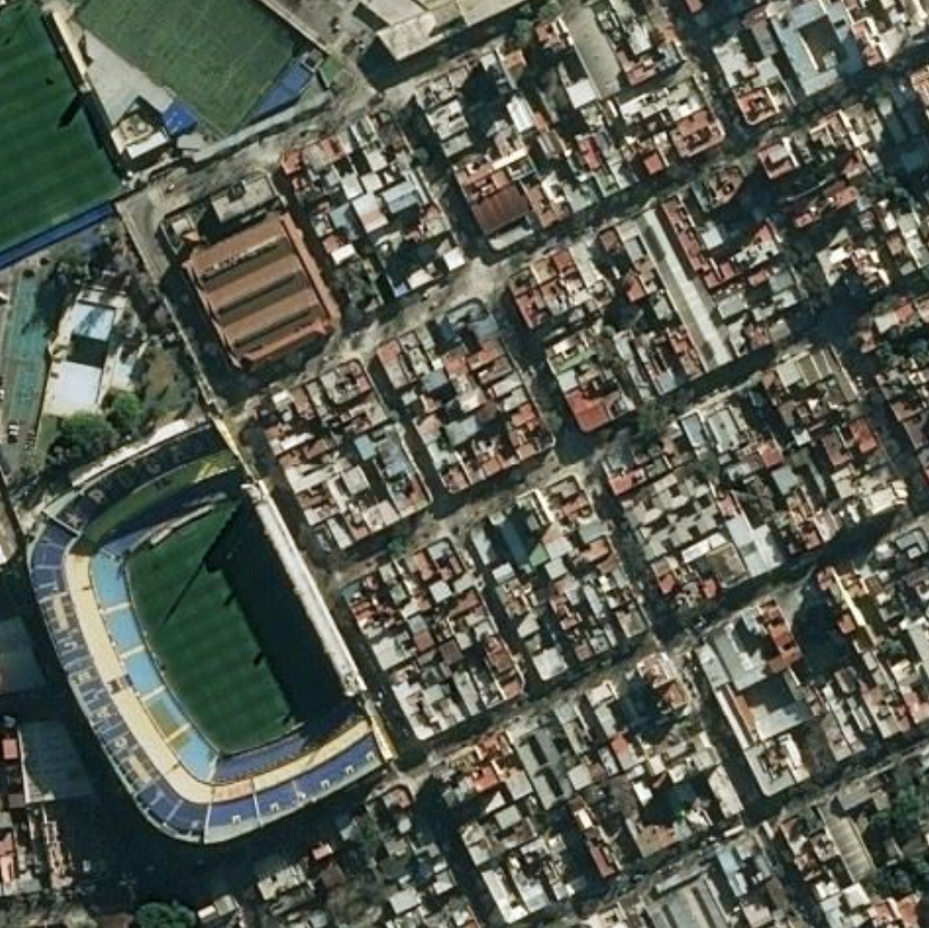
In Buenos Aires most of the streets cross themself perpendiculary, with some rare exeptions. All the blocks have the same dimensions and are called « manzanas« . Each side of the manzana is called « quadra » ,and measures around 100m length and contains always100 house number (the last of them rarely given) . The streets can be few kilometers length, that’s why the numberation is so important.
In Buenos Aires like in a few cities in Latin America, the adress system is so simple that it is usualy used to mesure distances ( for exemple : « it’s not so far away, maybe 7 quadras, so about 10 minutes by walking). Similarly, the locals seldom use landmarks to tell you a direction but prefer to refer to the address system (for exemple : « intersection Corrientes and Florida » or « 2 quadras straigh ahead and left »).
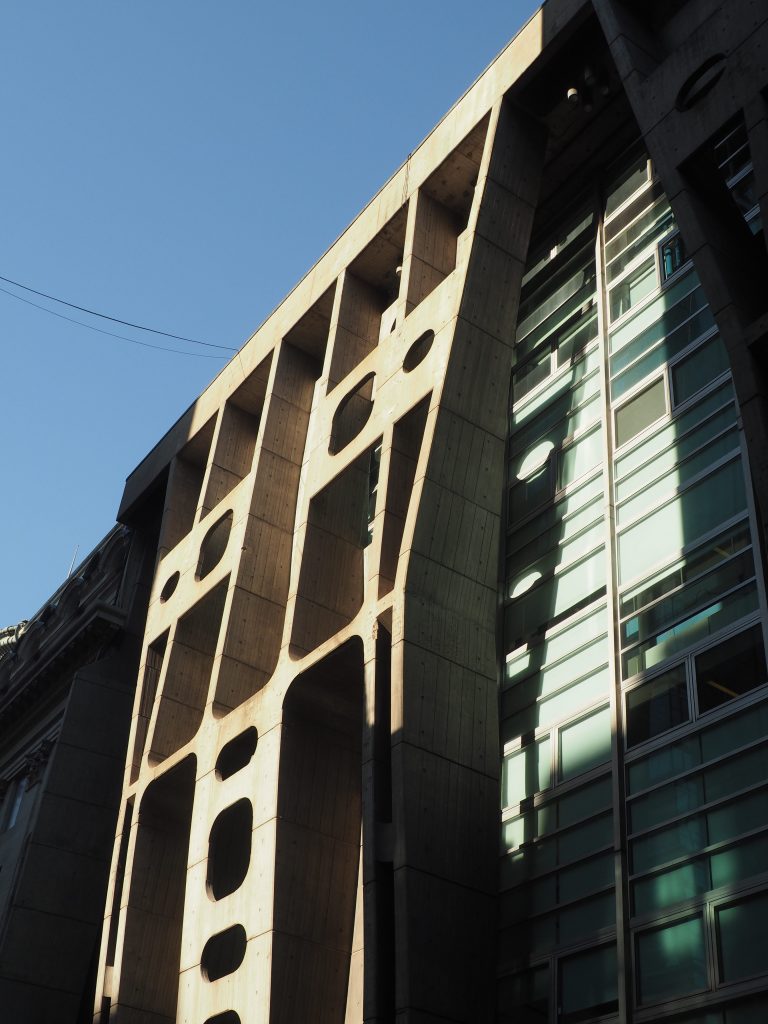
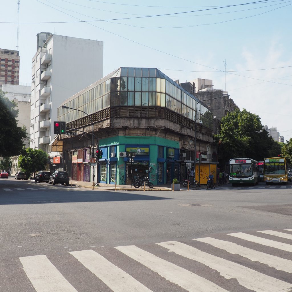
From what I know, there is no strict rules regulating the building composing the manzanas of Buenos Aires ( contrarely to Barcelona for exemple). In the centro, a lot of high-rise building were built in the center next to the old ones in the 70s.
II – A city shaped by its influences
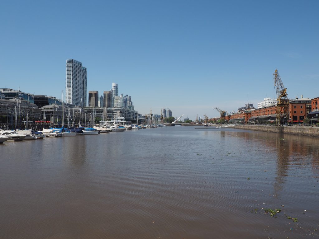
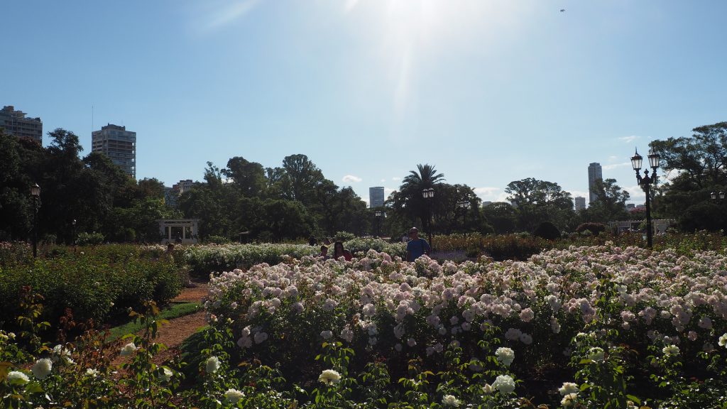
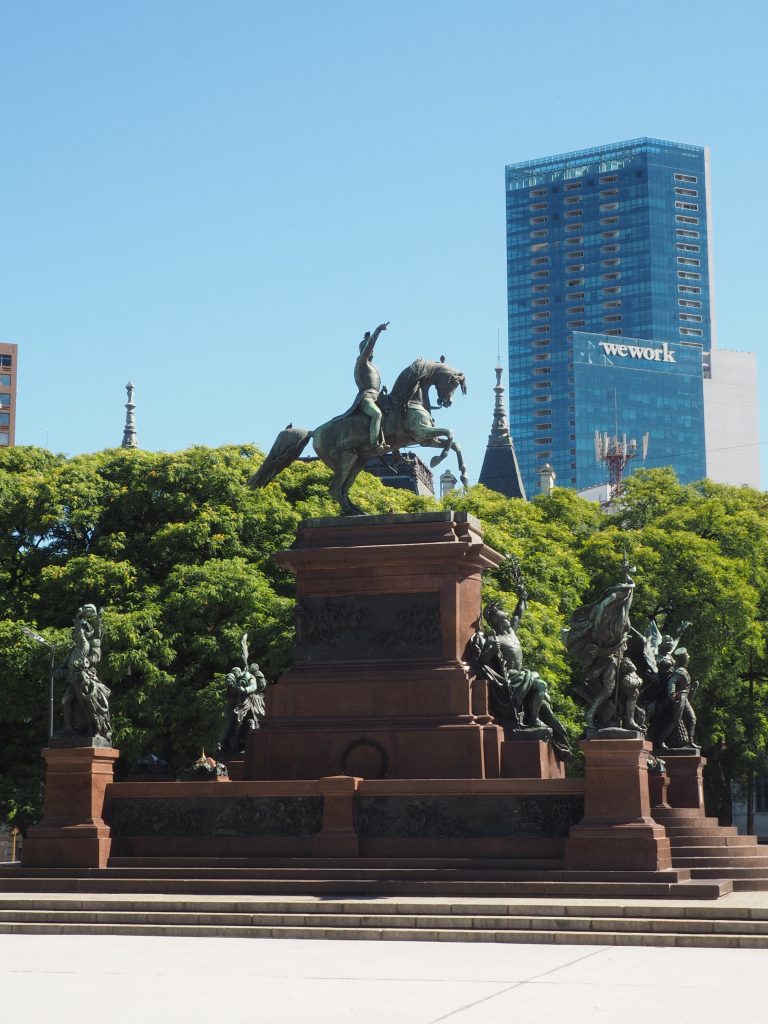
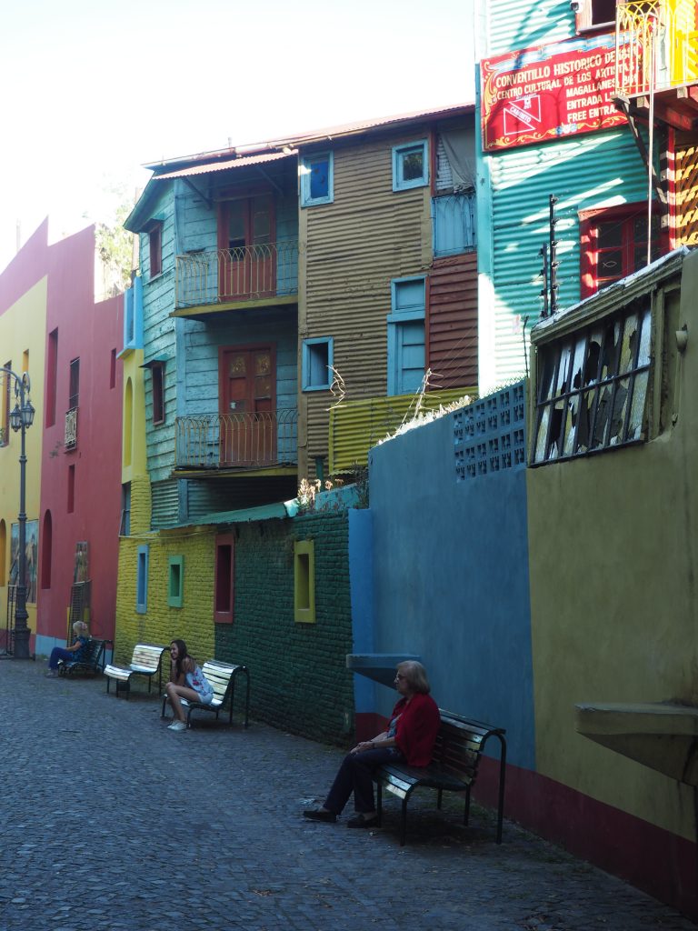
When I arrived in Buenos Aires I was surprised to discover a city almost european. Here almost all the population descends of european emigrants who came from Italia, Spain, Portugal or France. It may have been especially noticeable to me because I am used to european city but in Buenos Aires, there is a bit of Paris, of Milan, of Madrid.
This city seems to me to be like a patchwork or a puzzle. Through the grid system, different pieces or neighborhood – each different from another – were settled together.
III – The urban city of La Plata, quintessence of rational urban thinking
50 kilometers away the city of La Plata was designed in 1880 to serve as the provincial capital. It was designed by the urbanist Pedro Benoit according to a rationnalist conception. The city has the shape of a square, devided by perpendicular streets and avenues as well as diagonals (La Plata is sometimes called « the city of diagonals »). The streets don’t have name anymore but a number (for exemple « Avenida 53 » or « Diagonal 6 ») : to find an address looks like a naval battle party. The green spaces are distributed in a regular way in the city).
by baptiste quételart – architect / architectural reporter